Venus Line Spectacular View Driving Guide
One of Japan's best highland panorama roadsArea C:
Yashimagahara Wetland ~ Mitsumine Observatory ~ Utsukushigahara Open-Air Museum
See larger map of Venus Line Driving Guide
Yashimagahara Wetland (Altitude: 1630m)
The largest of the Kirigamine wetland, it is designated as a National Natural Monument.
Yashimagahara Wetland covers an area of 43.2 hectares, and the peat layer is about 8.05 meters thick.
It is a high-altitude wetland that was created 12,000 years ago and is located in the south of Japan.
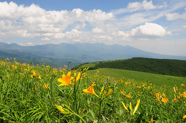
In spring, frogs cry, and in summer, around 400 kinds of alpine plants can be seen here, including Azaleas, Mikkoukisuge (Daylily), and Japanese thistle.
In autumn, the grass and leaves turn red, and the cries of deer can be heard.
The mountains on the right are Monomiwa (1,780m) and Chouchoumiyama (1,836m), which are connected to the hiking course from the summit of Kurumayama.
In the background, only the summit of Mt. Tateshina (2530m) can be seen.
The Yashima Visitor Center Azami-kan also offers guided walks in the wetlands led by a nature guide.
The period is usually from late April to early November.

Yashima Visitor Center Azami-kan, Inside the center is a wetland archive

Yashimagahara Wetland - Yashimagaike Pond can be seen in front
[Contacts] TEL:+81-(0)266-52-7000 Yashima Visitor Center Azami-kan
Mitsumine Observatory (Altitude: 1764m)
This is a superb view point on the way from Yashimagahara Wetland to Utsukushigahara Plateau.
You can see Kurumayama, Mt. Tateshina, Mt. Yatsugatake, as well as the Utsukushimagahara Plateau, and in the distance Mt. Asama.
At the store, you can enjoy natural mushroom soup (200 yen), soft-serve ice cream (300 yen), and highland milk (200 yen).
Open seasonally from late April to late November.
[Contacts] TEL:+81-(0)268-88-3161
Utsukushigahara Open-Air Museum (Altitude: 1959m)
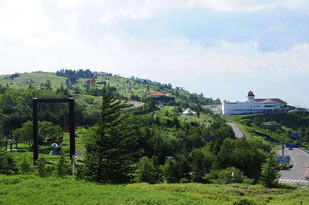
An open-air contemporary art museum located at the highest point of the Venus Line. Indoor exhibition space is also available.
Restaurants and stores are also available. Open from late April to mid-November every year.


