Venus Line Spectacular View Driving Guide
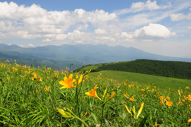
One of Japan's best highland panorama roadsThe Venus Line is a scenic driving route in the Yatsugatake Chushin Kogen National Park. It is a combination of the former Tateshina Toll Road and the former Kirigamine Toll Road, and was opened to the public free of charge in 2002. The route begins near Chino Station and ends at Utsukushigahara Plateau, extending approximately 76 km in length. The average altitude is 1,400 meters, and the highest point is 1,920 meters at Utsukushigahara Plateau. Around Lake Shirakaba, there are many cafes and restaurants, and at Lake Tateshina and Lake Megami you can enjoy a resort atmosphere. From Kurumayama to Kirigamine, the altitude rises quickly, and the area is dotted with lookout points from which you can enjoy magnificent panoramic views of the Mt.Yatsugatake, Mt.Fuji, Southern Alps, Central Alps, and Northern Alps. Another feature of the Venus Line is that you can see as many as 200 varieties of alpine plants.
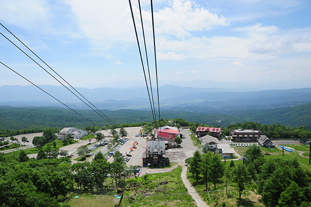
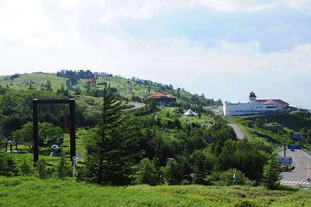
We will guide you to the most scenic spots and recommended spots in 3 areas "A to C" from Tateshina Kogen where Tateshina Ai is located to Utsukushi-gahara Plateau.
Shinshu Information
Weather

Nagano Prefecture is vertically long, and weather conditions differ largely by area.
Most weather forecasts are based on data observed in Nagano City (North Shinshu), the prefectural capital, so we recommend that you look at the data for each of the 3 areas: North Shinshu, Central Shinshu, and South Shinshu.
※Chino City, where Tateshina Highlands is located, is in the "Central Shinshu" area. The weather in the Central Shinshu and South Shinshu areas is similar to that of the Tokyo and Nagoya areas, with a high percentage of sunny days.
- ●North Shinshu→Areas with many ski resorts such as Hakuba and Nozawa Onsen, including Nagano City
- ●Central Shinshu→Area around Matsumoto City
- ●South Shinshu→Areas south of Shinshu, including Iida City